
Large earthquakes (M >8.5) in North-Central Chile are believed to occur in a regular cycle about every 100 years. An international team including a scientist from the Institute of Geophysics of the CAS has obtained evidence that the next large earthquake in this region may behave differently. In fact, the roughly 400 km long area of the active plate boundary currently seems to be divided into two smaller potential rupture areas. The discovered barrier in-between could significantly reduce the size of a future earthquake and thus its destructive effects.
Based on data from a dense network of 70 GPS stations monitoring the buckling of the South American tectonic plate and 85 seismic stations that recorded tens of thousands of small “microearthquakes”, scientists working in Chile, France, Germany, and the Czech Republic have mapped the locking degree between the plates. The study was published in Geophysical Research Letters.
“We have identified two large locked regions in the Atacama seismic gap. There are thousands of small earthquakes at shallow depth along what we think is a barrier or region boundary, while virtually no small earthquakes occur inside,” says Christian Sippl from the Institute of Geophysics of the CAS. “This implies the aseismic areas are mechanically coupled, i.e., they are currently accumulating elastic strain energy that will one day be released in a large earthquake.” The distinct so-called barrier has shown increased seismicity (microearthquakes) and episodes of aseismic motion (slow slip) between the plates in recent years. “The barrier is located where a chain of seamounts is being subducted, which is likely responsible for the different behavior of this segment,” adds the first author Diego González-Vidal from the Department of Geophysics, Universidad de Concepcion in Chile.
The results suggest that the barrier could limit the magnitude of the next large earthquake in the Atacama seismic gap (a section of an active fault that has not moved for a very long time and is more prone to earthquakes due to the increasing stress) in North-Central Chile. The earthquake is unlikely to extend along its entire length (about 400 km), but would affect only one of the two identified areas. The magnitude should thus be lower than that of previous major earthquakes in 1819 and 1922.

Watching how a plate buckles
To study the properties and movements of the tectonic plates where one slides under the other (subduction zone), scientists use permanent GPS stations that measure the “buckling” of the upper plate. If the plates move continuously along each other, the energy is released gradually without a major earthquake. However, friction on a tectonic fault often prevents continuous movement, and stress and energy accumulate. In that case, the upper plate is buckling, i.e. it deforms like a spring that is storing the mechanic energy. Recordings from a large number of GPS stations make it possible to map the degree of “locking”, i.e. the proportion of the plate convergence that is stored like this, and find the places where elastic energy is currently accumulating for a future earthquake.
More importantly, corridors with low “locking” can act as barriers to prevent the propagation of the earthquake rupture. A large area of accumulated stress can thus be split into two smaller units, limiting the size the potential earthquake can reach.
Small earthquakes occur where big ones likely won’t
Constantly occurring small earthquakes are mostly too weak to be felt by humans but can be recorded by sensitive seismometers. “We have retrieved and located more than 30,000 such small events,” says Christian Sippl.
“Microearthquakes are markers that show where the plate boundary fault is locked and where not. This type of seismic activity is usually associated with movement along weakly “locked” areas, while “locked” regions are completely quiet (no microearthquakes).” Of course, the quiet areas here are only apparently quiet. There is a build-up of tension (stress) that will be released in a future large-scale earthquake.
Rough plates make for good barriers
Such rupture barriers can be related to seamounts, large submarine mountain chains that get subducted together with the oceanic plate. The Capiapo Ridge, a system of seamounts with a relief of more than 1500 m, is currently being swallowed by the North-Central Chile subduction zone. Researchers suggest that the observed barrier exhibiting numerous microearthquakes as well as episodes of aseismic motion could be a direct consequence of the increased roughness that this mountain chain brings.
In the field and from the table from the Czech Republic
Evaluating data from Chile can nowadays be done while comfortably sitting at a computer in the Czech Republic. The COVID pandemic prevented trips abroad, so new GPS and seismic stations were installed by colleagues in Chile themselves in 2020-2022. Measured as the crow flies, they covered an area of roughly 600 x 150 km, from the coast high into the mountains more than 3000 m above sea level (the highest station is at 3797 m). “The amount of micro-earthquake data we have access to is vast and impossible to process manually. Therefore, part of our work involves developing and optimizing an automated approach that involves deep-learning methods. This combines existing and recently published algorithms into a single workflow. The created dataset forms the basis for further analysis, comparison, and final evaluation,” says Christian Sippl.
Publication: González-Vidal, D., Moreno, M., Sippl, C., Baez, J. C., Ortega-Culaciati, F., Lange, D., et al. (2023). Relation between oceanic plate structure, patterns of interplate locking and microseismicity in the 1922 Atacama seismic gap, Geophysical Research Letters, 50, e2023GL103565, https://doi.org/10.1029/2023GL103565
Contact: Christian Sippl (co-author): sippl@ig.cas.cz
Photo captions (above):
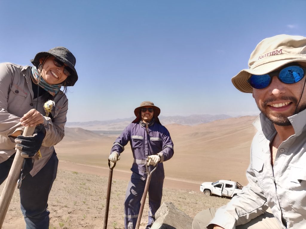
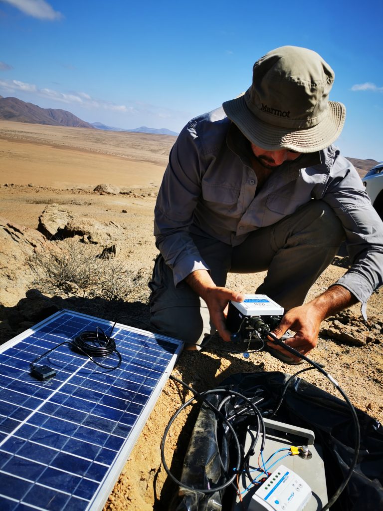
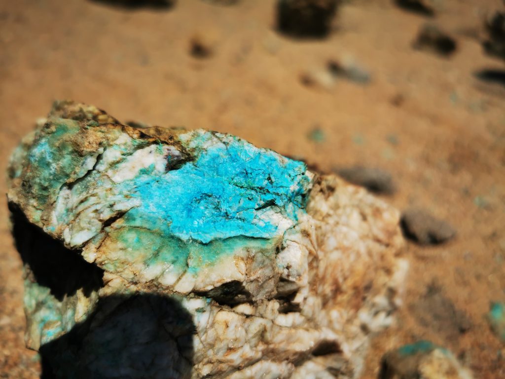
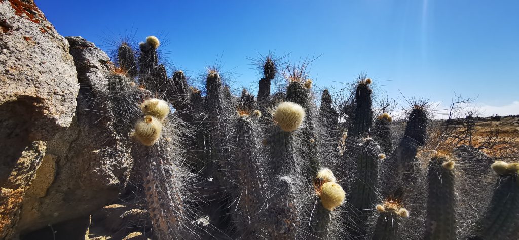
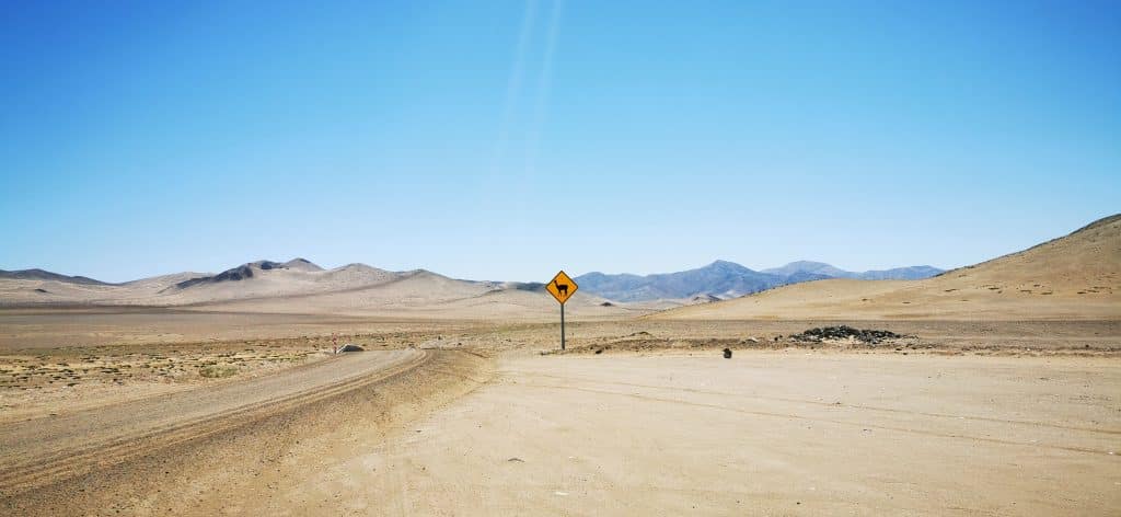
Fieldwork in the Atacama Desert (Photos: Diego González Vidal and Valentina Valeria)
The seismic and GPS stations were deployed in the Atacama Desert, which stretches along the Pacific coast and extends inland to the foothills of the Andean Cordillera. The Atacama is one of the driest deserts on Earth. Fieldwork: preparing the site for the seismic station and installation of a seismic station.
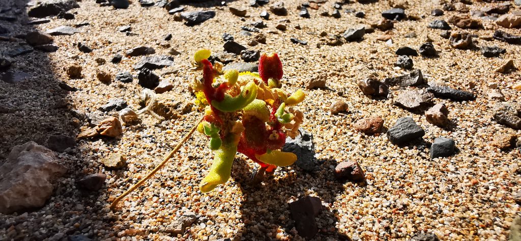
The flowering desert, flora in the Atacama.
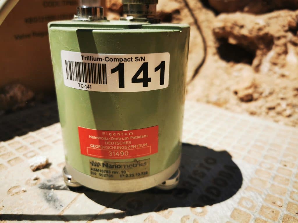
Seismometer detail. The instrument records velocities of ground movement and thus captures even very small earthquakes. It is usually installed in a pit or hole in the ground. Together with other components, it forms a seismic station. A network of seismic stations enables one to obtain more detailed information about earthquakes, such as their locations and magnitudes.
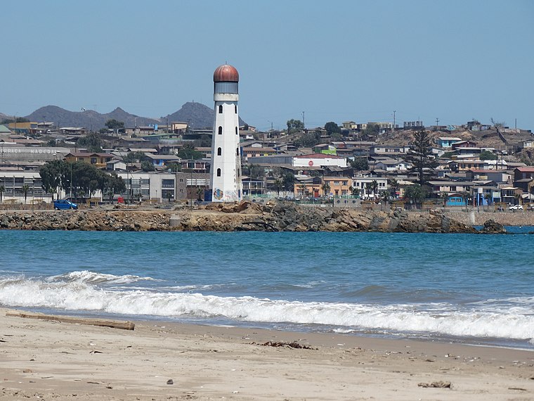
The port city of Huasco located in the Atacama seismic gap is one of the sites vulnerable to a future earthquake and tsunami. (Photo – Wikipedia, author: Catalinaclaudia, CC BY-SA 4.0)

Map of the North-Central Chile region, showing the newly derived locking map. The symbols on land (crosses, plus signs, triangles) mark seismic and geodetic GPS (“cGNSS”) stations constructed and used in the study. Black bars offshore show the extent of past earthquakes in the region.
In the southern part of the 1922 Atacama seismic gap (shown with a white ellipse), low values of locking outline a possible barrier for large earthquakes. Modified from Gonzalez-Vidal et al. (2023)

So-called barriers are areas where there is a lower degree of locking between plates. Schematic sketch of subduction: the Nazca oceanic tectonic plate is subducted under the South American tectonic plate. There are areas with a high degree of locking which are likely to rupture in future earthquakes separated by areas with a lower degree of locking (barriers). Source: Modified from Lay et al. (2012)