
REYKJANET network
Seismic network REYKJANET has been established on Reykjanes Peninsula in 2013 under the project P210/12/2336, to obtain data from dense seismic local network. The network is operated by the Institute of Geophysics and Institute of Rock Structure and Mechanics of the CAS. the network was substantially upgraded in 2016 – short-period seismometers were replaced by broadband ones. The network consists of 15 stations covering an area of 60 km x 20 km. The stations are equipped by Guralp CMG 3ESPC (eigenperiod T0=30s), which are buried in containers on concrete pillars coupled with bedrock and Nanometrics Centaur digitizers. All stations record continuously with sampling frequency of 250 Hz. Because the stations are deployed in inhabited and remote places, they are powered by batteries recharged by solar panels and wind generators. The maintenance of the network is supported by Iceland Geosurvey (ÍSOR) in the terms of Memorandum of undertanding between the institutions. The measured data (around 185 GB/year) are stored in safe data storage. REYKJANET is the only local seismic network of the Czech Academy of Sciences operated abroad (similar project is the regional Czech-Greek network PSLNEToperated by the Faculty of Mathematics and Physics of the Charles University and University of Patras).
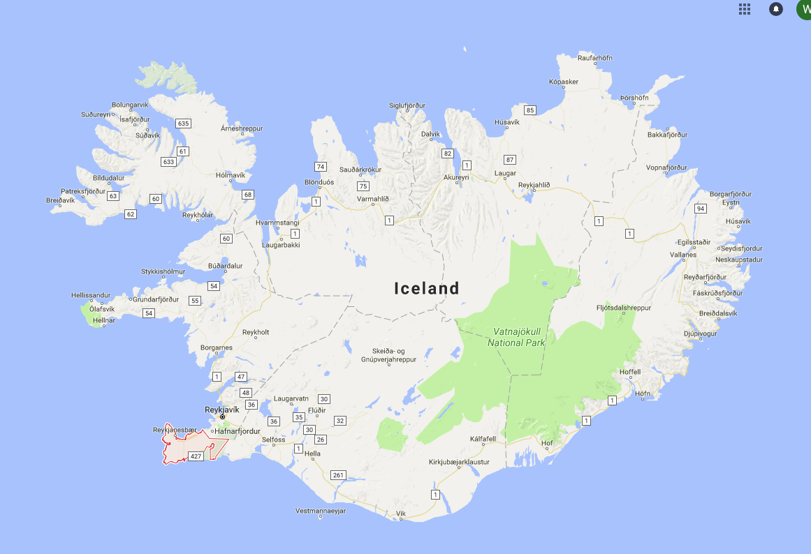
Red line marks the Reykjanes Peninsula on south-west Iceland with the REYKJANET network
Reykjanes Peninsula, south-west Iceland
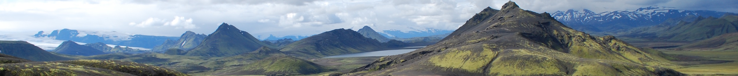
Iceland is one of the most significant geodynamic areas of the world. It is the only part of the Mid-Atlantic Ridge (the boundary between North-American and Eurasian tectonic plate) above the sea level. Iceland represent the unique opportunity to observe and study phenomena of the diverging tectonic plates. A 65 km long rift zone goes through the whole Reykjanes Peninsula (roughly from 63,8° to 61,1°N and from 21,5° to 22,3° W). Sharp mountain ridges and valleys are stretching from south-west to north-easy and the whole rift zone is extending around 20 mm/year in west-east direction and about 5 mm/year in north-south direction.
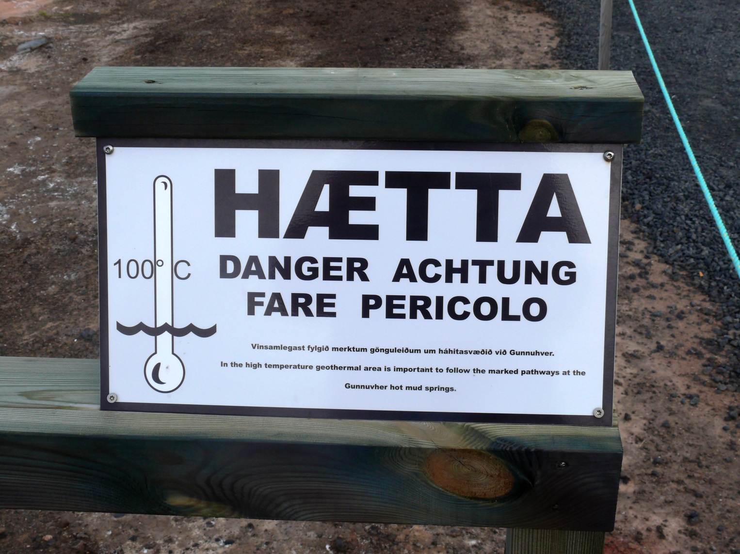
Reykjanes penninsula is the most seismically active region in terms of number of earthquakes, although mostly on micro-earthquake level with local magnitudes ML < 3.0 (usually several events per day) and seismic swarms which reach higher magnitudes than those in West Bohemia. The most significant seismic swarms occurred in 2000 (maximum magnitude ML =5,9), in 2003 (ML =5,3), in 2013 (ML =5,0) in 2017 (ML =4,2 ) and 2020 (ML=5.6). Shallow location of foci suggest that under the boundary around 8 km depth the rock become ductile and the brittle rupture cannot occur and therefore there are generated no earthquakes. This should correspond to a temperature over 600°C (average temperature of Earth at such depths is around 200°C). Whole peninsula is covered by lava fields. Last magmatic activity took place around 1000 years ago. Last eruption is documented in 1240 when whole volcanic system of Reykjanes was active. The Reykjanes Peninsula is highly complex geodynamic area where volcanic and earthquake activities interact. We observe crustal fluid activity demonstrated by fumaroles, moffettes and geothermal fields with surface temperature up to 100°C. Geothermal energy is important source of energy for whole Iceland (geothermal power plant on west of Reykjanes launched in 2006 produces 100MW).
")
Tectonic situation (source: webpage usgs.gov)
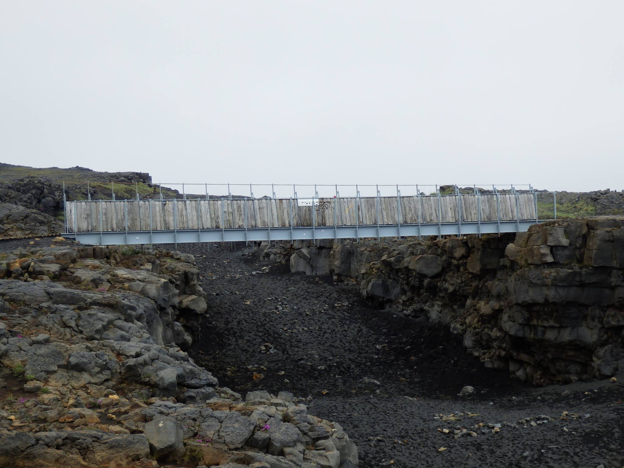
Bridge between continents in Sandvík on Reykjanes – on one side European tectonic plate, on the other North-American tectonic plate
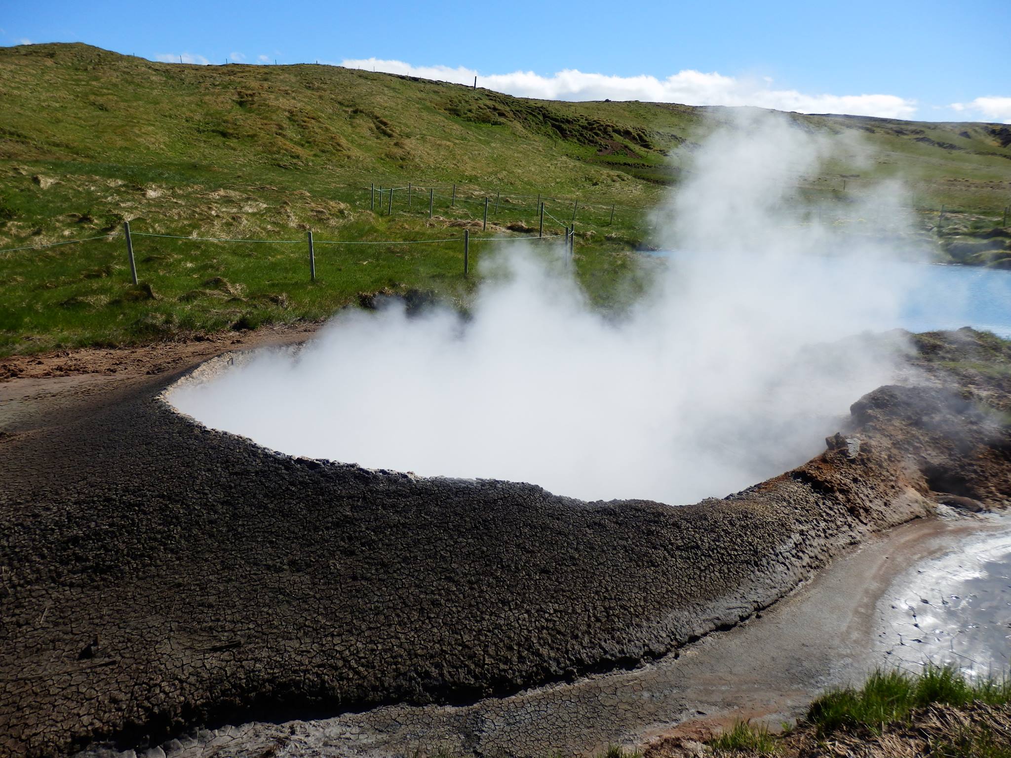
Hverahlíd – geothermal field Krýsuvík
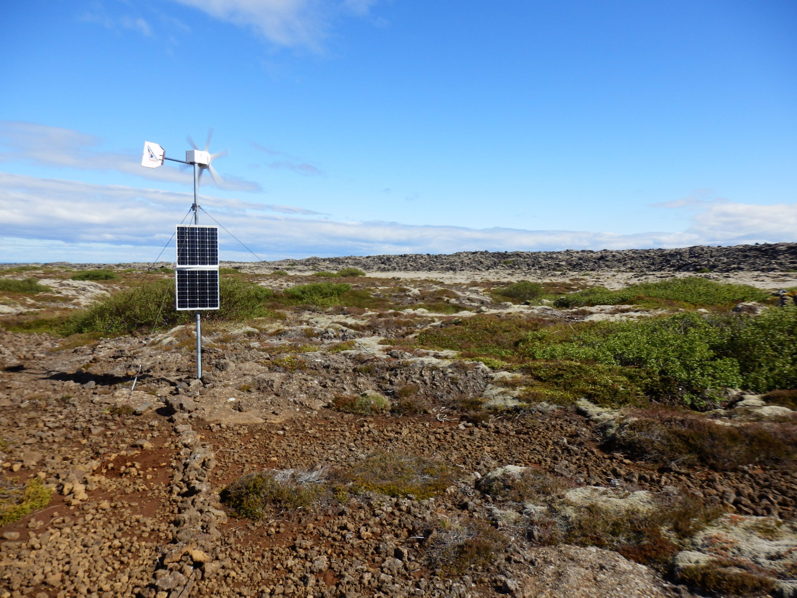
Station Afstapahraun (code ASH)
Geothermal area Gunnuhver
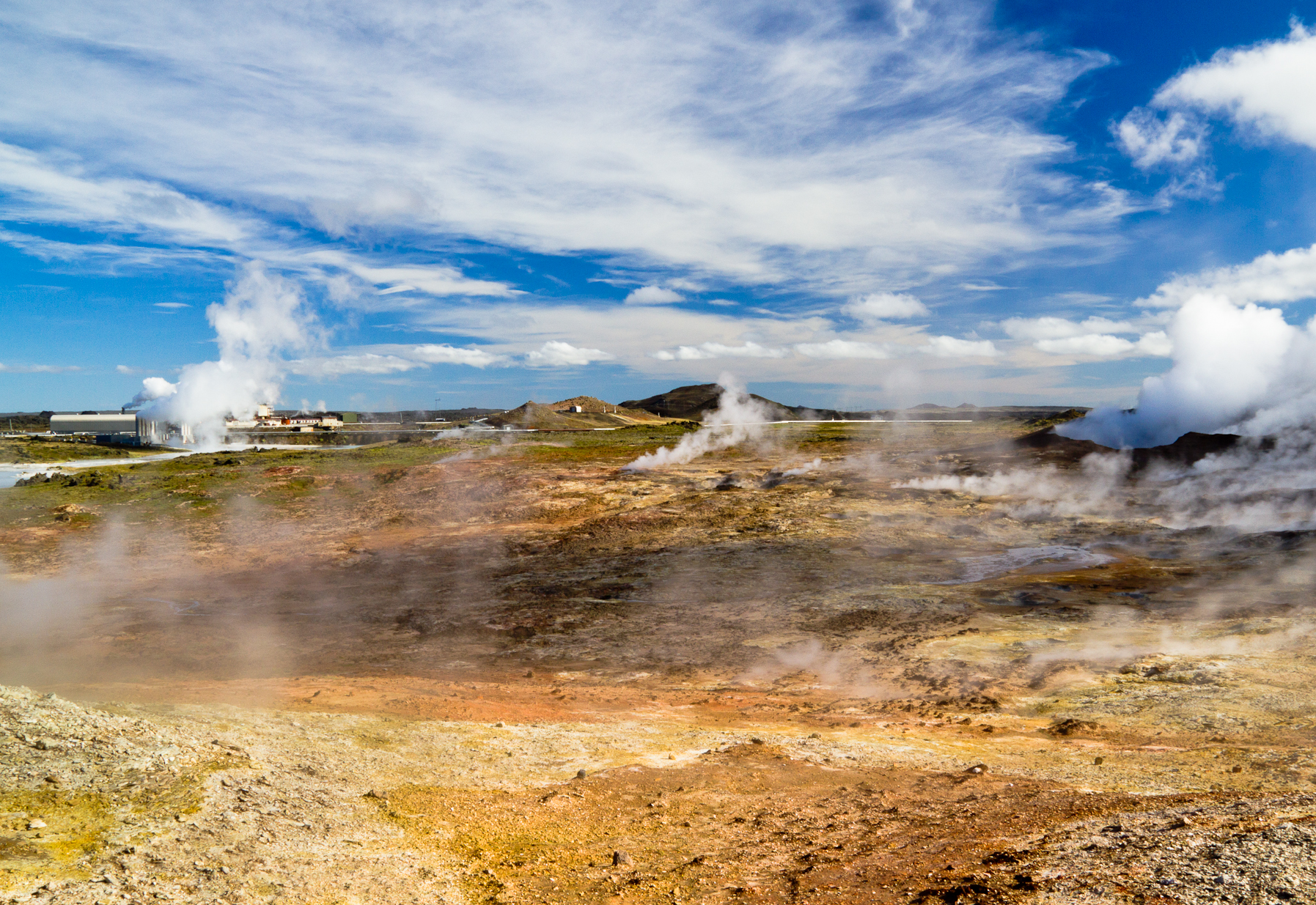
Geothermal area Gunnuhver, geothermal power plant in the back
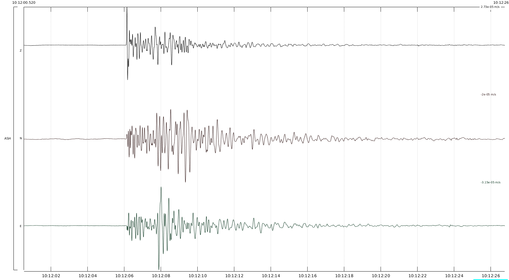
Three-component velocity record of local earthquake of magnitude ML=1.6 at ASH station from 29.5.2015 (from top to bottom: vertical component Z, north-south component NS, east-west component EW)
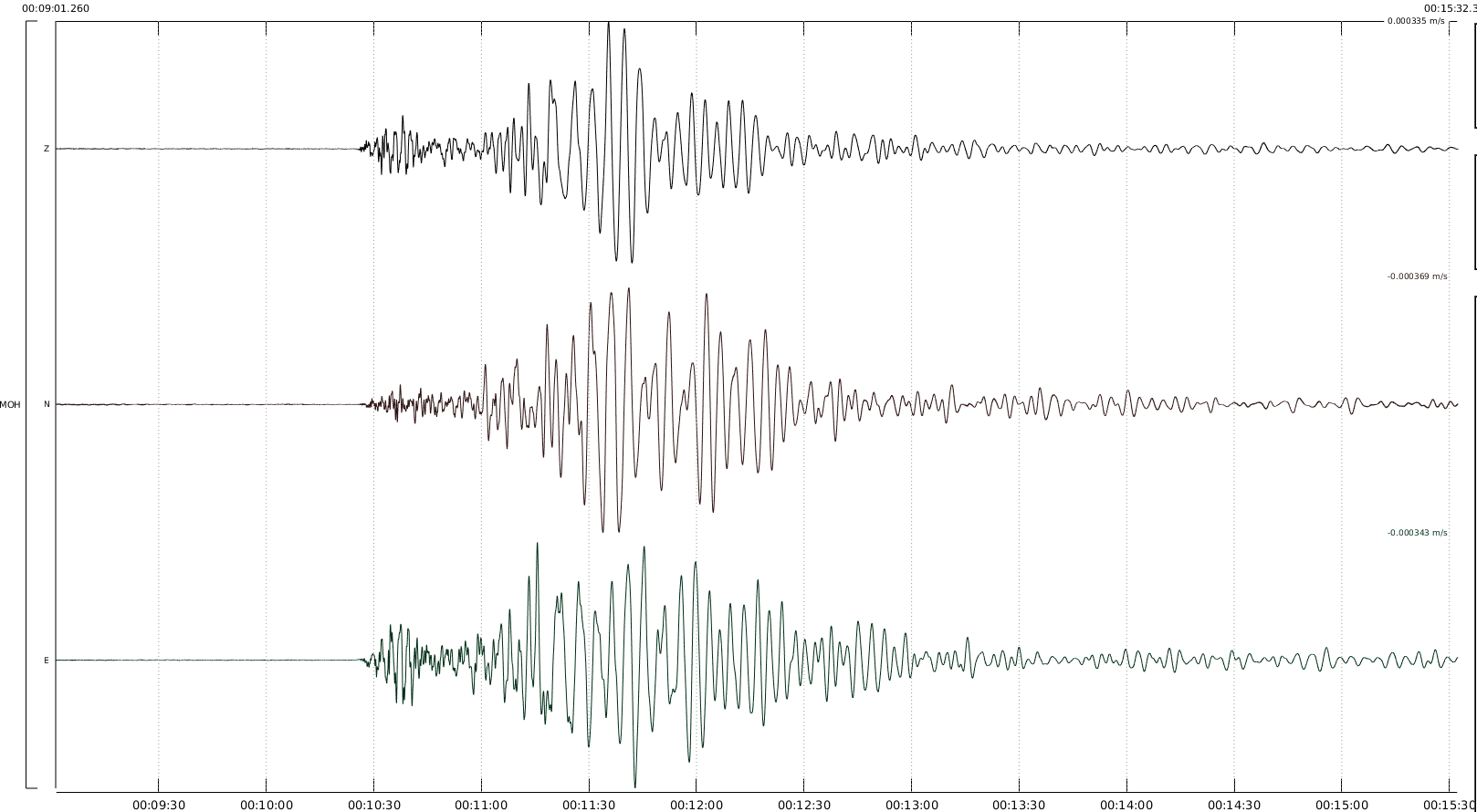
Three-component velocity record of regional earthquake of magnitude ML=5.0 at MOH station from 24.8.2014 (from top to bottom: vertical component Z, north-south component NS, east-west component EW). The earthquake occurred 200km away preceding Bárðarbunga volcano eruption.