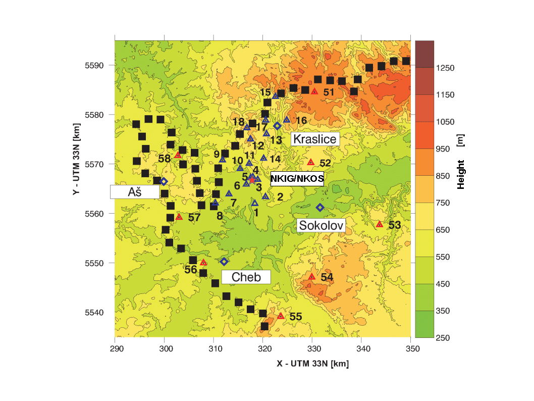
The West Bohemia geodynamic network (WEBGEODYN) is situated in the west part of the Czech Republic in the area of earthquake swarms. The GNSS and precise levelling measurements have been performed by the Institute of Geophysics of the Czech Academy of Sciences (IG) since 1993.
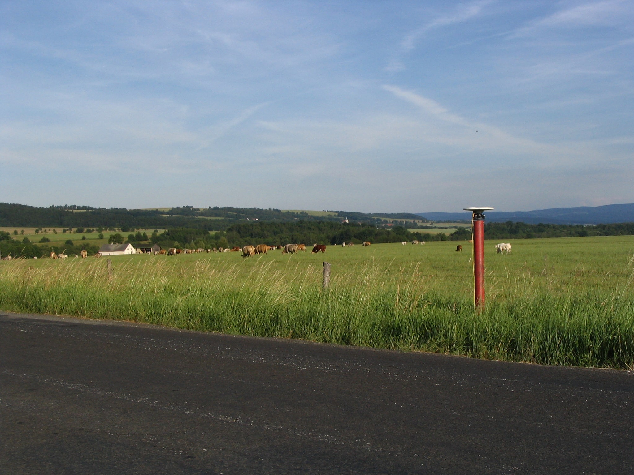
This local GNSS network consists of 26 points (18 points of inner network, 8 points of outer network) with its centre located in the main epicentral area around the village of Nový Kostel. The longest baselines are up to 40 kilometers. All network points are established by 5 m vertical steel pipe (1.5 m left above the ground) fixed and filled with concrete. The points provide compulsory centring of GNSS antennas.
The whole network is measured ones or twice a year. It is performed successively with several GNSS receivers usually in a five-days-long main campaign under a constant plan. From 2009 limited campaigns are performed only.
In addition to the GNSS campaign measurements, IG has also operated permanent station NKIG since 2006, which was replaced with permanent station NKOS in 2013 and new permanent station KVET was setup in 2018.
The WEBGEODYN network is part of CzechGeo/EPOS project.